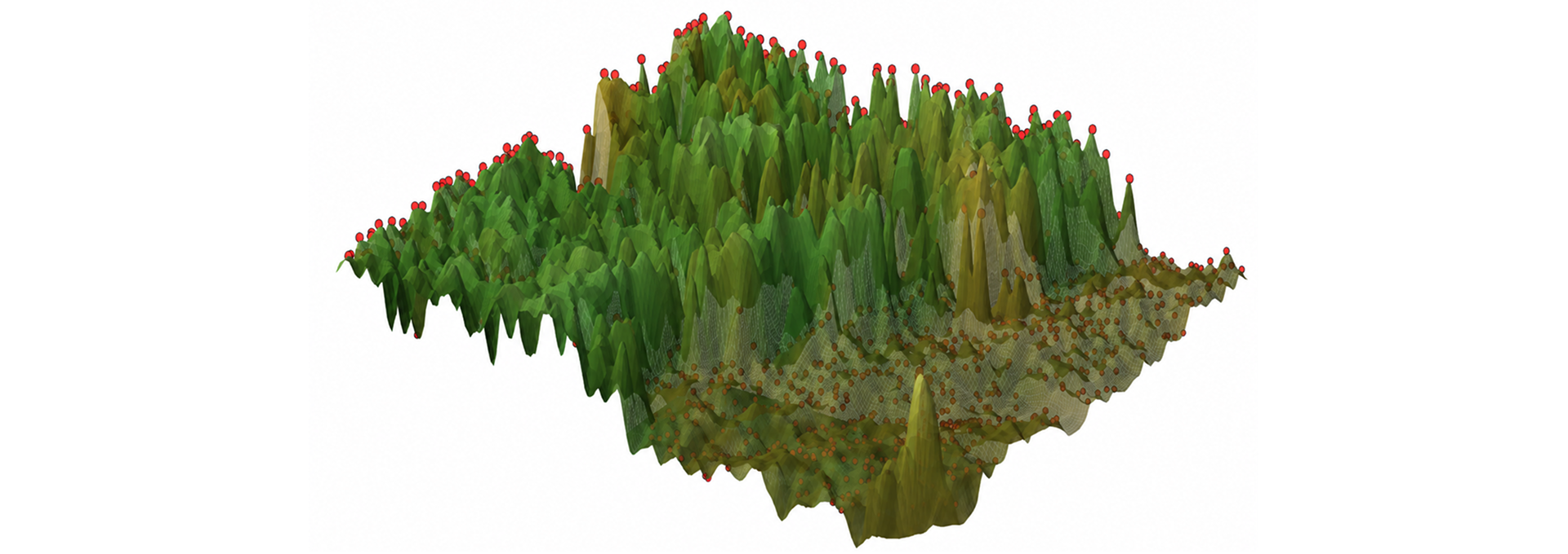
In January 2025, the Eaton Fire scorched Southern California slopes, leaving landscapes severely vulnerable to post-fire erosion before the upcoming rainy season. After containing a fire, emergency response teams face another race against time to identify where heavy runoff will wash away topsoil and threaten downstream communities. To address this urgent challenge, Vibrant Planet Data Commons (VPDC), our nonprofit arm dedicated to publishing open science, recently released the Post-Fire Erosion Explorer: a new prototype and interactive viewer, translating observed fire severity into live, regional erosion severity data so practitioners can deploy targeted erosion mitigation before disaster strikes.
The need for more cohesive, actionable post-fire hazard data
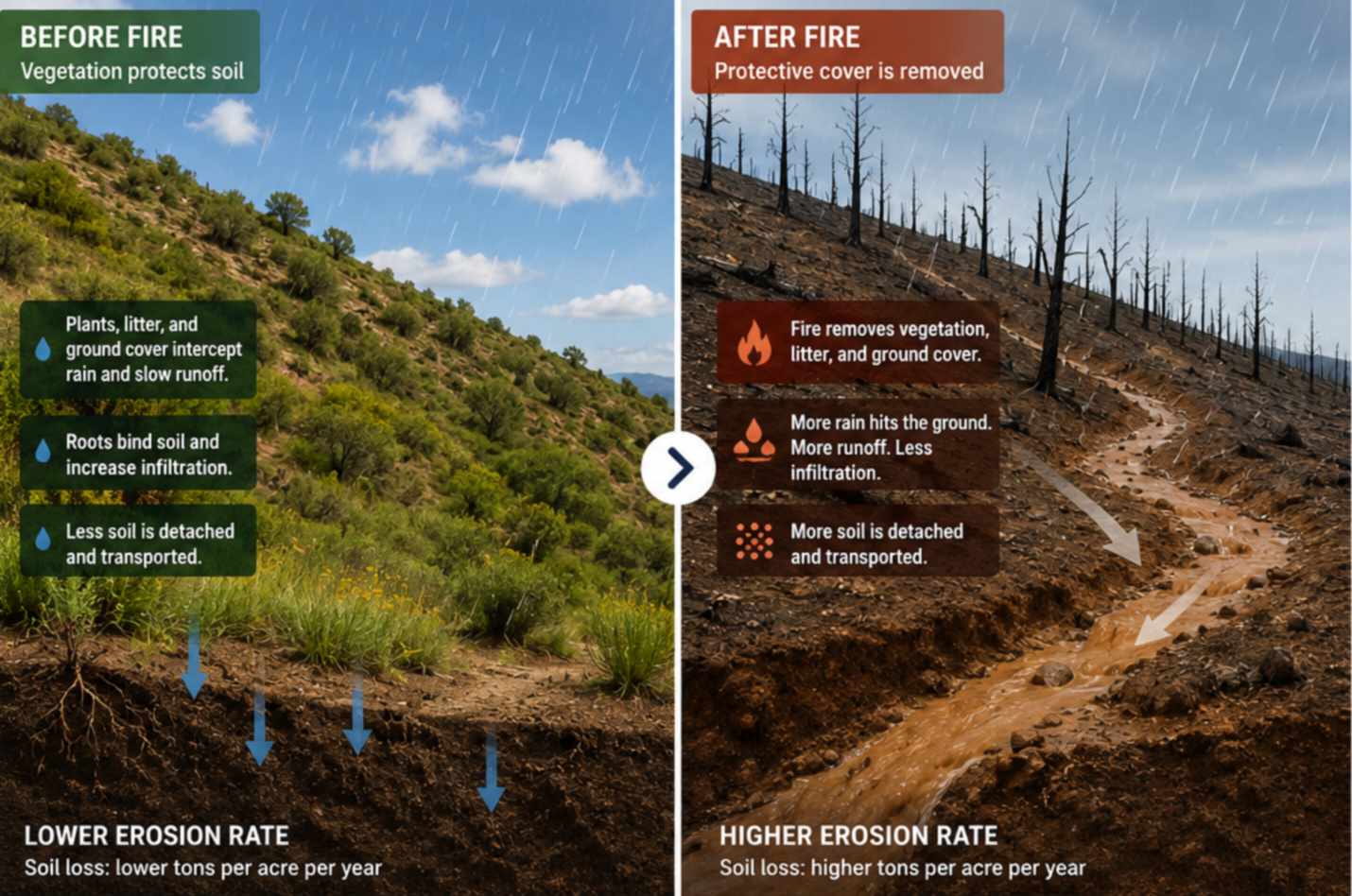
Emergency responders need to make fast, defensible calls to mitigate post-fire hazard. There are many existing programs providing integral data layers and reports to support post-fire hazard analysis to values at risk. However, the work requires inputting, collecting, and collating data, fine tuning fire impact parameters or accepting generic defaults, and running a range of connected models. Each step takes time and expertise to get right, and the end result is generally static products that can be difficult to change, combine or adapt to evolving user needs. Many of those users will also reach a bottleneck of technical capacity and requirements for expert knowledge.
A new framework for evaluating erosion risk (and beyond)
In an emergency response setting, there often isn’t time for that kind of rework. That’s why VPDC recently released a prototype aimed at getting users a comprehensive view of erosion data (one aspect of post-fire hazard) that could serve as a framework for future response solutions.
The work from VPDC comes in two parts:
- New data: Vibrant Planet scientists leveraged the Burned Area Emergency Response (BAER) soil burn severity maps responders already collect in the first week after a fire and translated them into estimated first-year erosion rates using localized parameters derived from past fires in the region, then tested the method on the January 2025 Eaton Fire.
- New tool: Post-Fire Erosion Explorer, which packages that data to support existing response team work. The platform organizes information by the same assessment basins state and federal crews use, providing access to raw data, maps, and summaries that field teams, water managers, and local governments can share and plan around.
Using the Eaton Fire as a testing ground, the Post-Fire Erosion Explorer surfaced three findings to help practitioners understand the severity of the impacts, know where to look first, and gather insights to build a comprehensive erosion mitigation plan.
- Overall Soil Loss: Conservative assumptions put modeled first-year soil loss across the Eaton Fire footprint roughly 2.85 times above pre-fire levels. This is nearly triple the soil that slopes shed in a normal year. This excess soil moves toward roads, culverts, reservoirs, and homes below the burn scar, making a compelling, data-backed case for securing emergency response mitigation funding quickly.
- Concentrated High Risk: The highest-risk 1% of the burned area (about 114 acres) accounts for roughly half of the total modeled erosion increase. That concentration sits on steep, unstable ground that was already erosion-prone prior to the fire. For teams deciding where to send field crews first, these hotspots represent the highest-impact locations for immediate inspection and intervention.
- Widespread Moderate Severity: Moderate-severity ground (74% of the fire's footprint) drove about 68% of the total modeled increase, even though it erodes more slowly per acre than high-severity ground. While the top 1% pinpoints where to send quick-response crews, the moderate-severity majority highlights where long-term mitigation dollars, monitoring, and labor must be sustained. Planning solely around extreme hotspots would severely undercount the full scope of the recovery effort.
Together, these findings give responders a clearer picture of where to look first, and also sets them up with the evidence to request resources the moment demands.
Where we’re headed with Emergency Response solutions
VPDC is upfront about the Explorer’s own assumptions and limitations: it's a year-one estimate, it depends on BAER severity data, and it currently only focuses on erosion, leaving out other post-fire hazards like debris-flow or flooding. Importantly, the Explorer adds ingredients to decisions that response teams, water agencies, and local governments already have to make, while leaving the call with the people who know the ground. But VPDC is also hopeful that this is just the beginning. VPDC and Vibrant Planet view the launch of the Post-Fire Erosion Explorer as a first step towards equipping emergency responders with solutions to help them track key post-fire metrics as events unfold, or before they happen.
The project was made possible by Cisco Foundation funding, built by Vibrant Planet scientists, and brought to life through analysis from VPDC. It's a fitting example of how VPDC operates: convening data leaders and scientists to turn rigorous research into insights that practitioners can use.
Building effective emergency response tools requires input from the practitioners who rely on them in the field. If you manage post-fire response, water systems, public infrastructure, or local land use, we invite you to explore the tool and share your perspective:
→ Explore the Data: Access the interactive Post-Fire Erosion Explorer to view raster layers, download assessment basin summaries, and review full methodology documentation.
→ Provide Input: Submit your feedback, practical needs, or potential collaboration ideas using our contact form.



.jpg)
.png)